Short does not mean easy
A Practical Woodland Walk
Tennessee State Parks currently lists Woodland Trail at 0.95 mile, moderate difficulty and natural surface. It is shorter than many park hikes, but roots, rock, moisture and changing bridge access still matter. Check the park's trail listing before setting out.
- Distance
- 0.95 mile
- Difficulty
- Moderate
- Surface
- Natural
- Plan around
- Current conditions
Think of it as a connector
How to Use the Trail
The Woodland Trail serves the Nature Center and waterfall side of the park’s trail network. It can work as a focused forest walk or as the beginning of a longer route toward established overlooks. Use the current park map and trail signs at every junction rather than relying on an old turn-by-turn description.
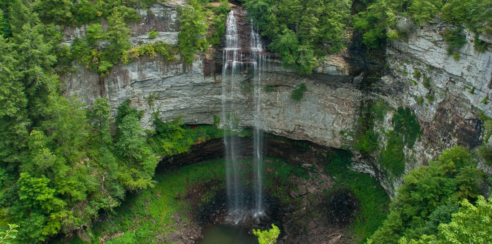
For many visitors, the best plan is to combine the walk with the main Fall Creek Falls overlook. The overlook provides the signature waterfall view without the strenuous climb required by the Base Trail.
Build only the route you need
Woodland Walk or Longer Loop?
Stay with a shorter Woodland Trail outing when time, daylight or group comfort is limited. Continue toward the Gorge Overlook Trail only when everyone is prepared for a longer natural-surface walk near exposed viewpoints.
The Base Trail is a separate decision. Its steep descent and return climb should not be treated as an automatic extension of an easier rim walk.
Compare hiking trails →Forest, natural footing and connections.
Longer choiceGorge Overlook Trail
More time and serious overlook edges.
Conditions define the experience
Woodland Trail Safety
Storm damage and maintenance can change crossings. Follow current signs, barriers and ranger guidance.
Roots, leaves, rock and damp surfaces require attention even on a relatively short route.
Stay on maintained paths and behind protection at all overlooks and gorge-rim areas.
Do not add a longer trail simply because it appears nearby on a map.
A small kit is still worthwhile
What to Bring
Wear closed-toe shoes with useful tread and carry drinking water. Keep a current park map available, and allow more time after rain or when walking with children.
Secure phones and cameras before bridge crossings or uneven sections. Dogs are allowed in the state natural area on leash, but visitors should verify current park rules and keep pets controlled around other hikers.